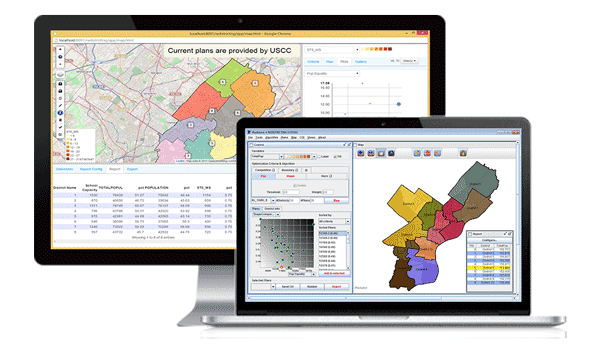
iRedistrict® Online

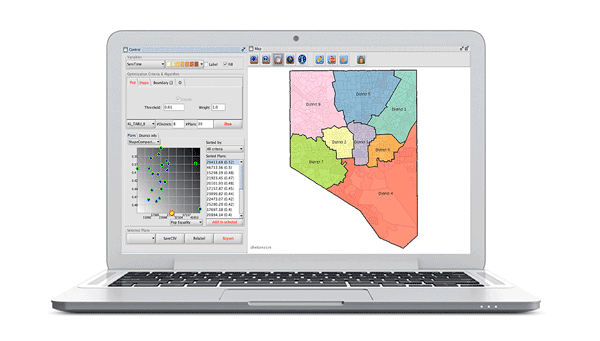
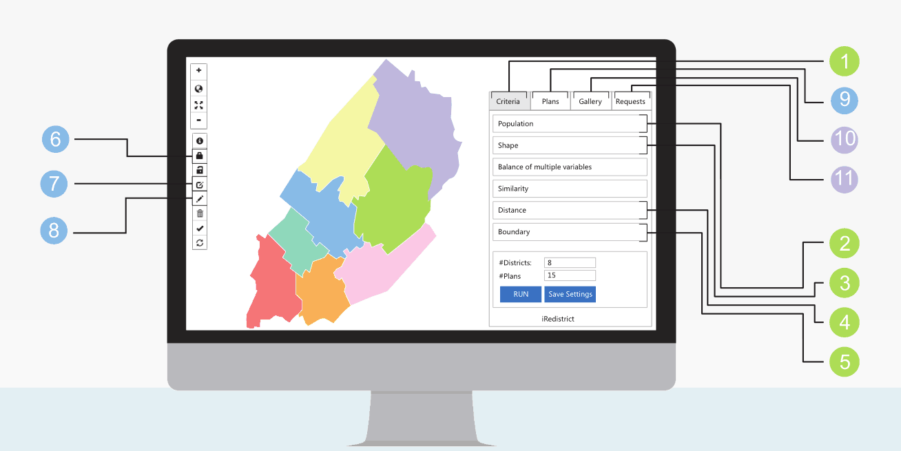
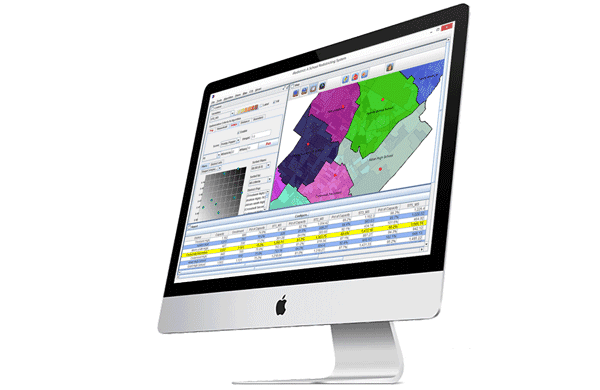
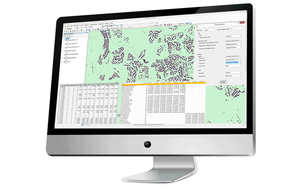
Smart Territory Mapping with Powerful Optimization

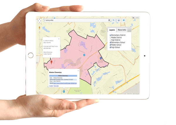
Instantly Save, Publish, Share, and Vote Plans with a Group of Users or the Public

Free Redistricting Data Integration for Users with iRedistrict License

Online COI Collection From a Group of Users

Login/Register iRedistrict background

iRedistrict® is an award-winning redistricting software with powerful optimization algorithms, intuitive user controls, easy editing interface, and customizable reporting. The development of this technology was sponsored by National Science Foundation.

As a cost-effective and time-saving solution, iRedistrict® can dramatically save the workload and improve the outcome quality of redistricting projects. iRedistrict® excels in its capability to leverage user inputs (such as communities of interests, existing boundaries, etc.) and powerful computer algorithms, which can generate high-quality redistricting plans that meet both mandatory requirements and user-specified preferences.

iRedistrict® has online edition and desktop edition.

product
product


Does iRedistrict support starting from an existing plan

Yes, with iRedistrict, you can load an existing plan as a boundary, then ask the software to produce plans minimizing the cross of this boundary. It supports working with multiple boundaries. That menas, you can minimize the cross of an exiting plan and also administrative boundaries.


How can iRedistrict produce 0-deviation plan?

One solution is to set higher weight and very low threshold on population equality before running the optimization. After producing the plans, lock the districts that have 0-deviation and rerun the redistricting optimization. Repeat it several times, you will get 0-deviation plans. Another solution is to fine tune the plan boundaries. Pick a plan and mix it with the block layer to produce a polygon file that has blocks around the plan boundaries. Then run redistricting optimization on this file. Repeat the first solution if necessary.

School Redistricting
Balance capacity
preserve existing boundaries
minimize boundary changes
Political Redistricting
Create majority-minority districts
Achieve population equality
Maximize competitiveness
Site Selection Evaluation
Identify impacts to the network
Compare statistics of candidates
What-if analysis
product
Police Patrol Beats
Balance service calls and workload
Increase police presence
Minimize response time
Traffic Analysis Zone
Nested within county boundaries
Balance population and area
Homogeneous land use
Territory Planning
Balance workloads
Minimize travel distances
Minimize number of staffs

Let's Get In Touch!


ZillionInfo provides location intelligence solutions to help clients deal with large datasets, dig into data insights, and make better location allocation decisions such as site selection, territory mapping, and routing.

This site uses cookies to give you the best, most relevant experience. Using this website means you are OK with this.